
HIKING CHALLENGE: Mount Borah, Idaho
Published On: August 22, 2016 Posted by: Jeremy Peterson
Hiking is something I do to clear my mind and challenge myself. Mount Borah has been on my list of peaks to bag since my father first suggested the idea when I was a teenager. I attempted it with friends once in 2012 and had to turn back due to weather. This time, we came ready to make it to the top.
The hike is approximately 8.2 miles round trip with an estimated 5200 feet in elevation gain. The trail is unrelenting from start to finish and provides just a few flat areas to stop and rest along the way. However, the payoff is big for those willing to push through to the end.
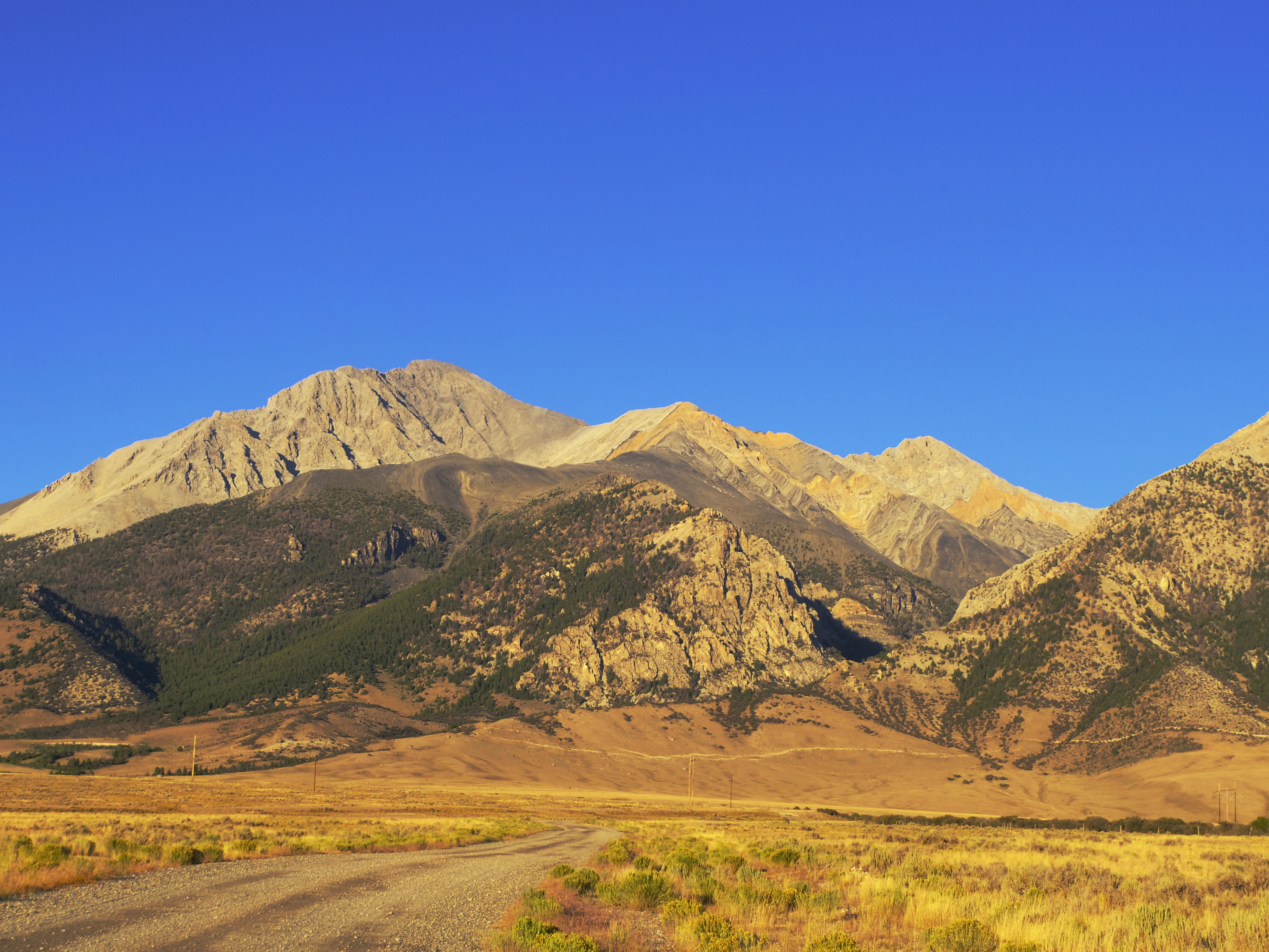
The trailhead to Mount Borah is located about 12 miles north of the small farm town of Mackay, Idaho. In this case, it was about a four hour drive from Ogden, Utah to arrive at out destination. The peak rises 12,667 feet above sea level. Interestingly, this is a very active earthquake area. In 1983 the area was struck by a 6.9 earthquake that saw the mountain gain 8 feet in elevation. The fault scarp is still clearly visible near the base of the mountain.
We happened to arrive on the last weekend before school starts in Idaho. The campsites were packed with scout groups and college kids getting ready to hit the mountain one last time before summer ends. We shoehorned our tent into a clearing in some sage brush and prepared for a 5am departure.
The first 1.2 miles of the trail wanders through trees and gains elevation gradually. However, once the first lower ridgeline is reached, the pitch of the trail increases dramatically. This stretch of the trail takes you through a forested area and then up through the treeline. Once you get above the trees, the surrounding landscape really starts to impress.
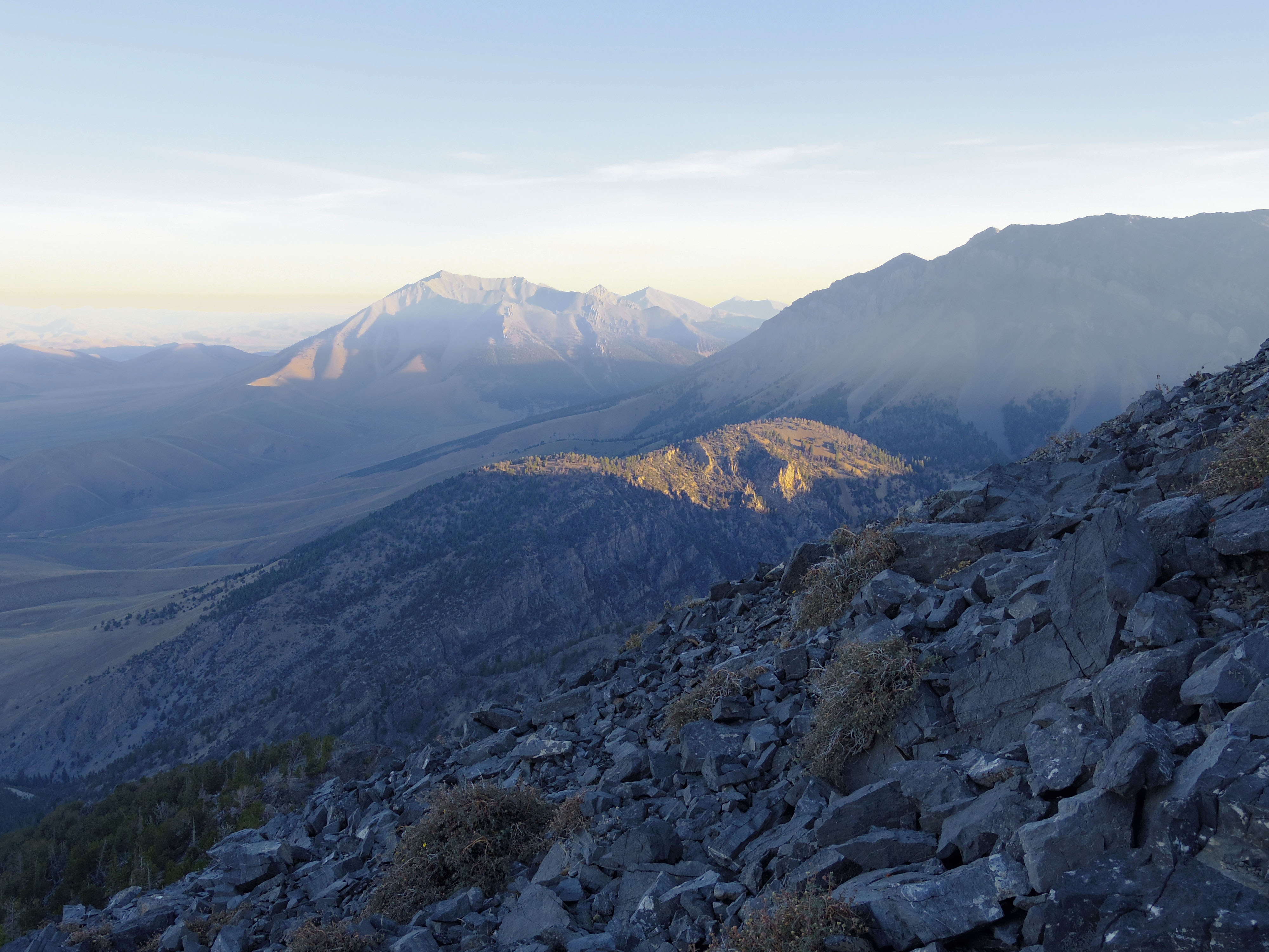
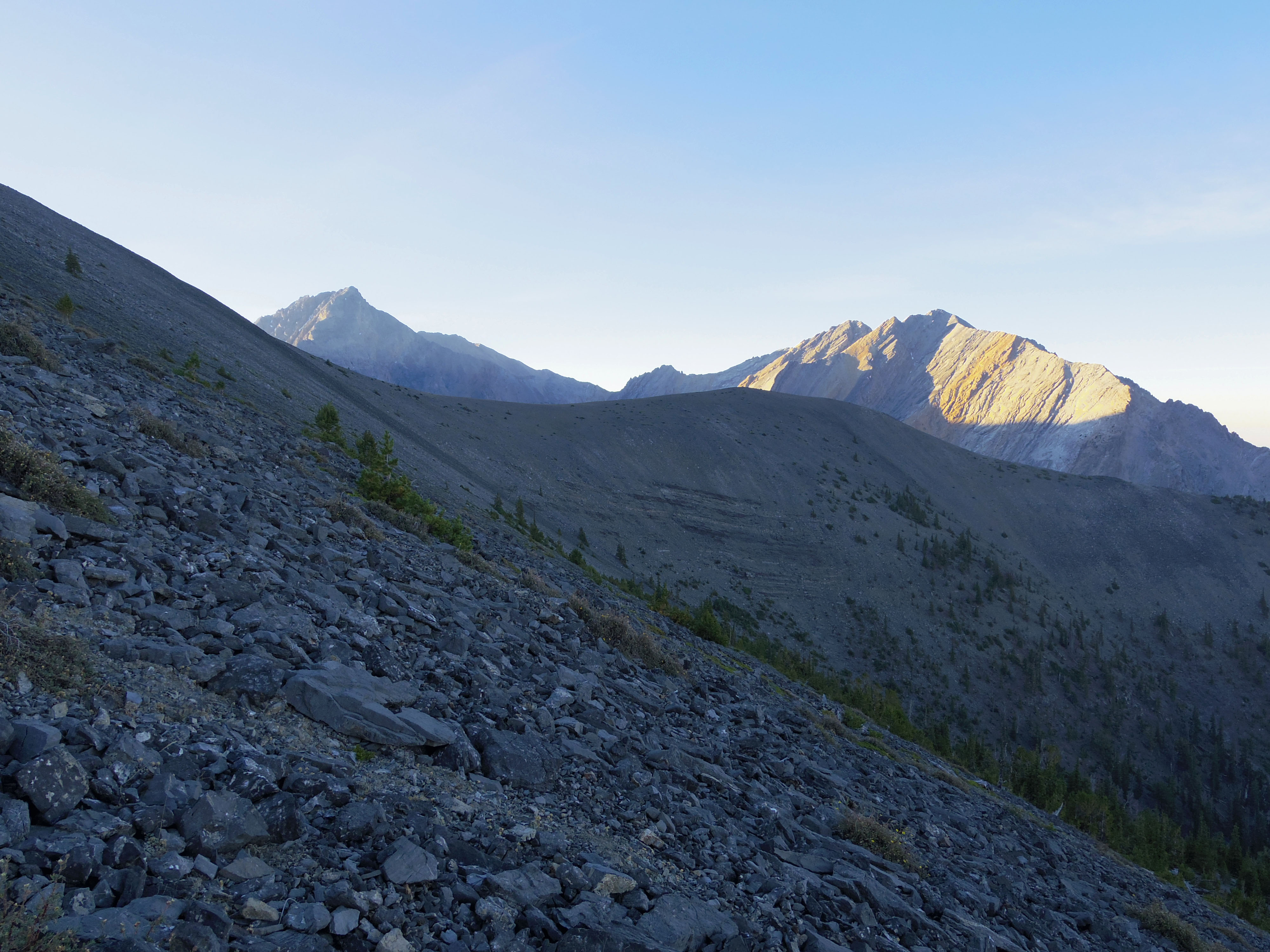
Unfortunately, a wildfire near Boise was causing significant haze for us as we got the day started.
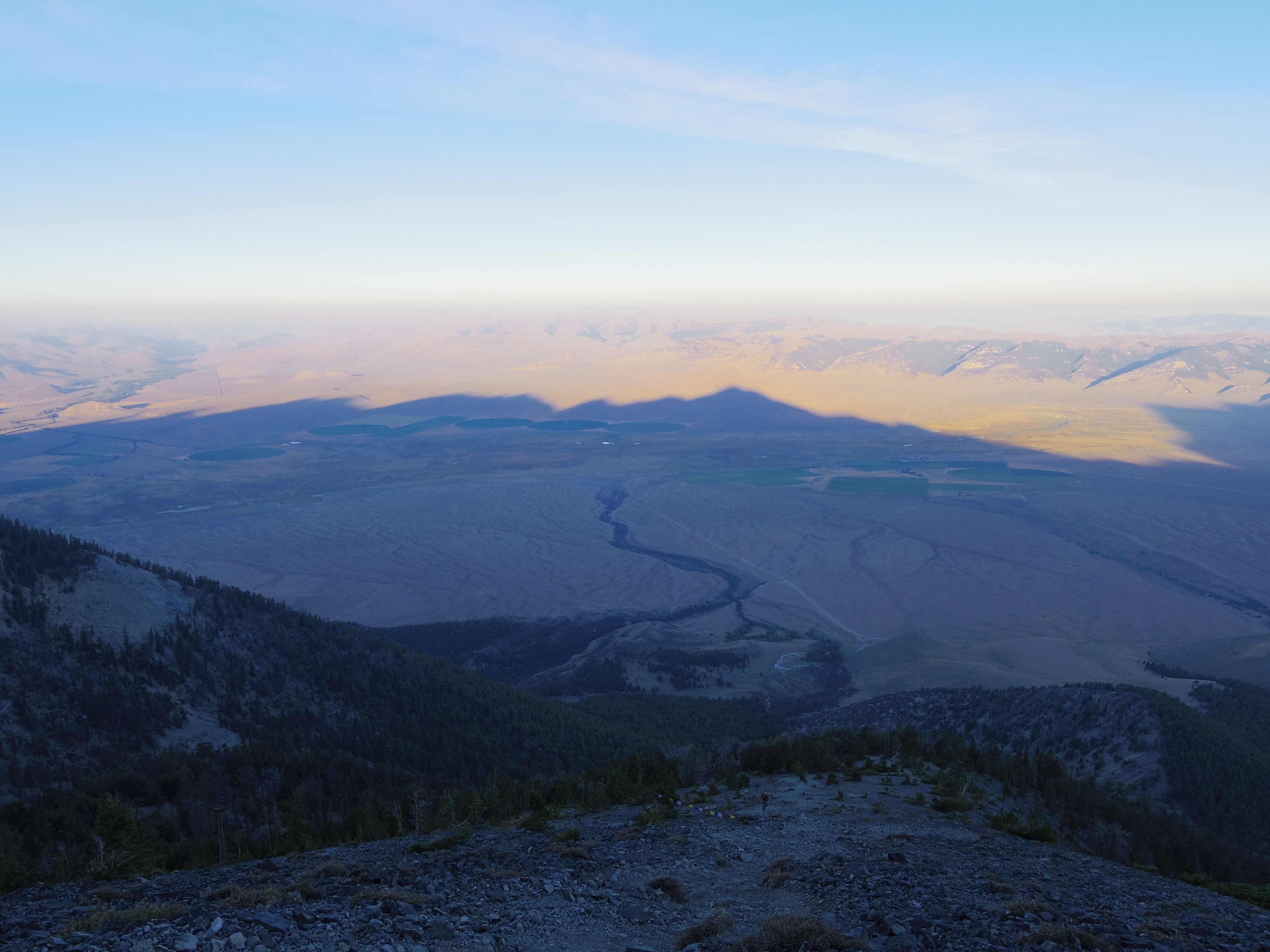
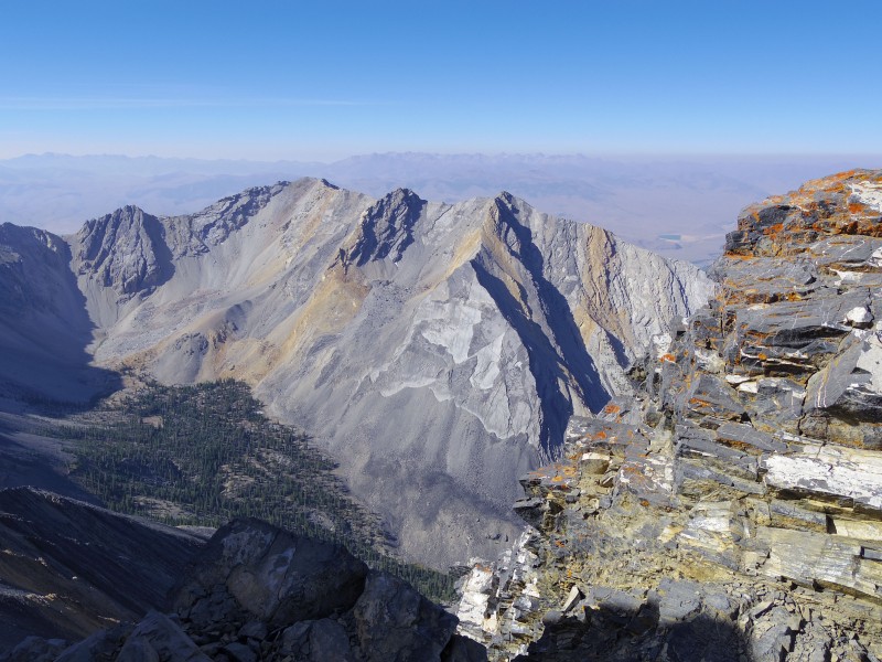
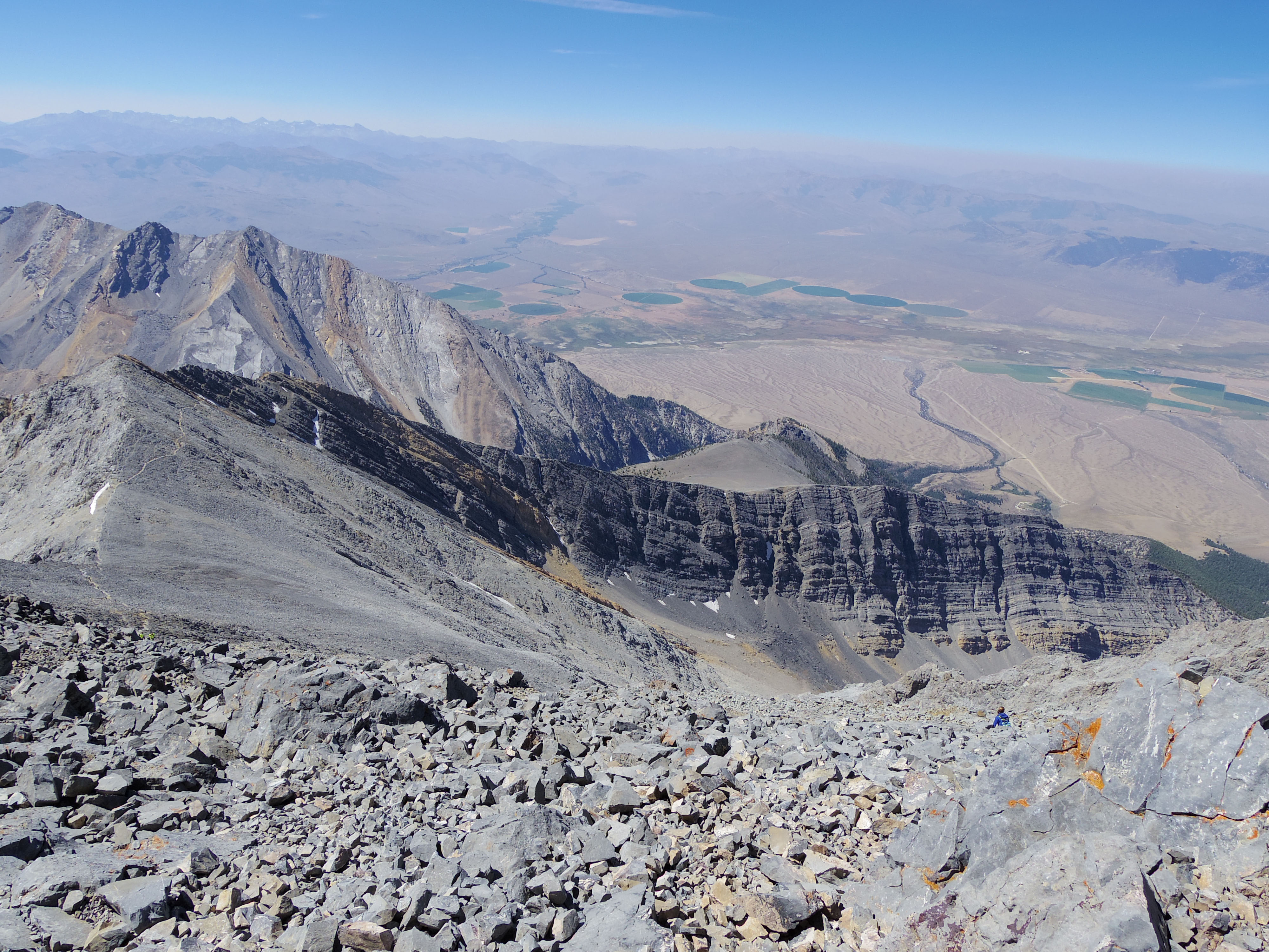
Here, Borah casts its shadow on the Lost River Valley below.
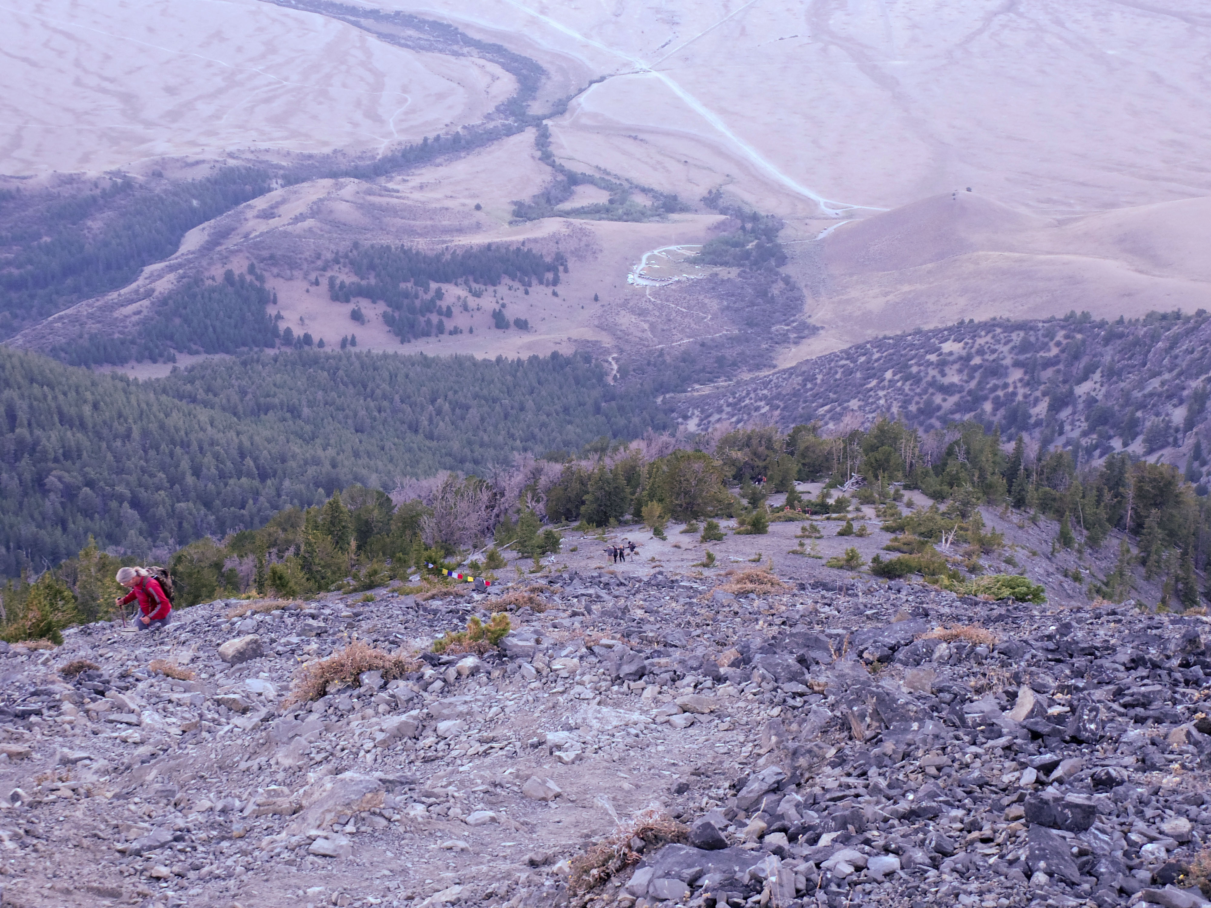
Prayer flags mark the 10,000 ft level which is about half of the elevation gain for the hike.
This leg of the trip is very strenuous. From the lower ridge, the trail gains a calf burning 1,200 feet in less than .7 miles.
After the calf burning, the trail moderates for a short while as it extends across a barren ridge. This portion of the trail extends for nearly a mile.
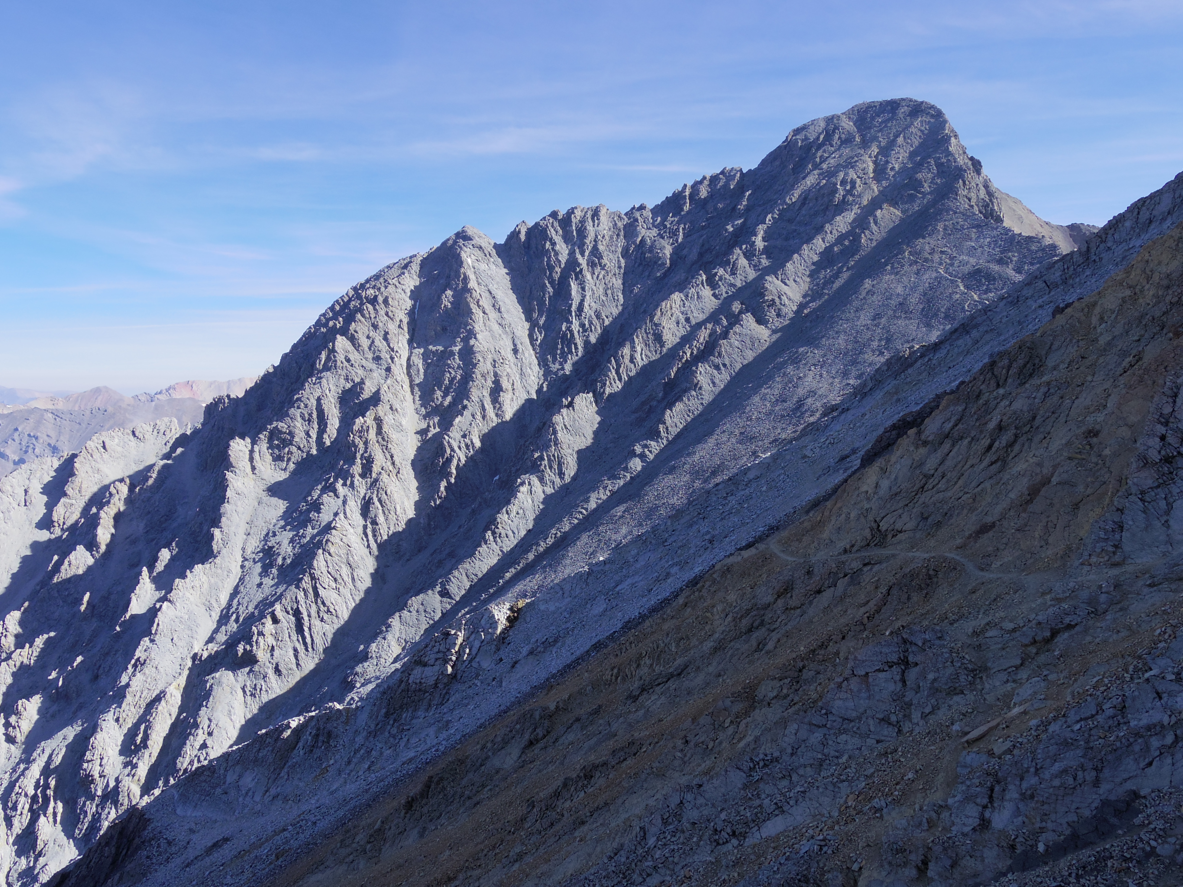
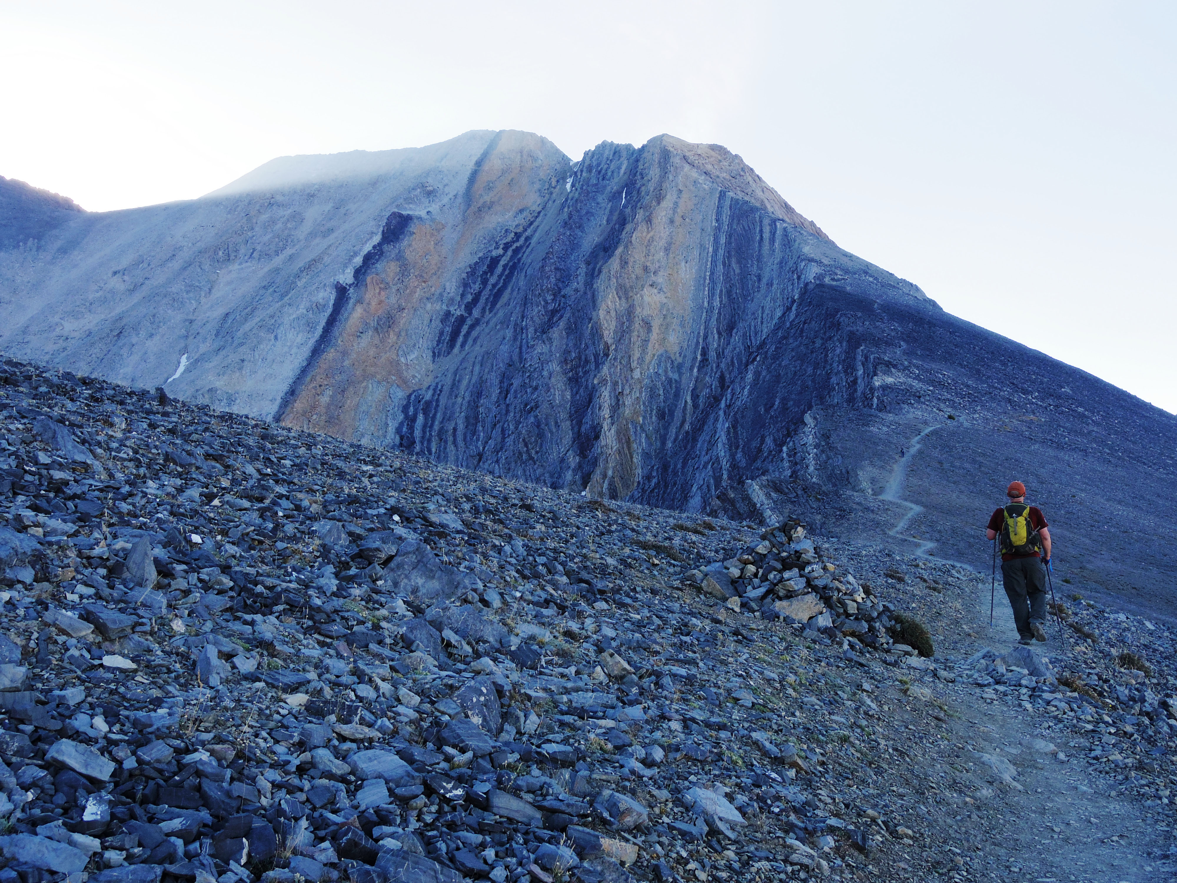
However, the reprieve is short lived as the trail ascends quickly to the notorious Chicken-Out Ridge. This portion of the trail is considered a Class 3 climb and requires a lot of maneuvering over exposed cliffs. Even after being drained by the elevation gain, my adrenaline started pumping for obvious reasons.
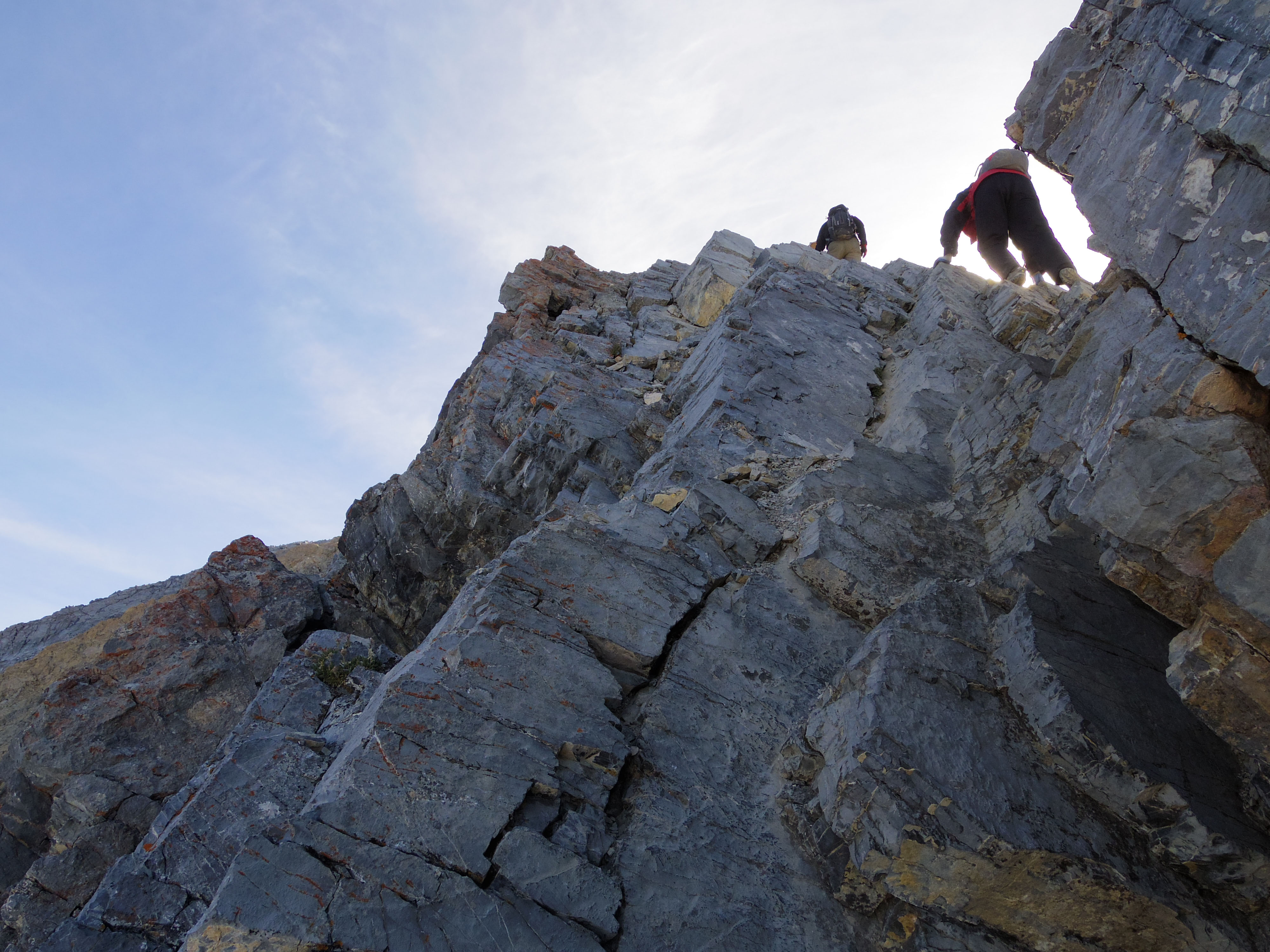
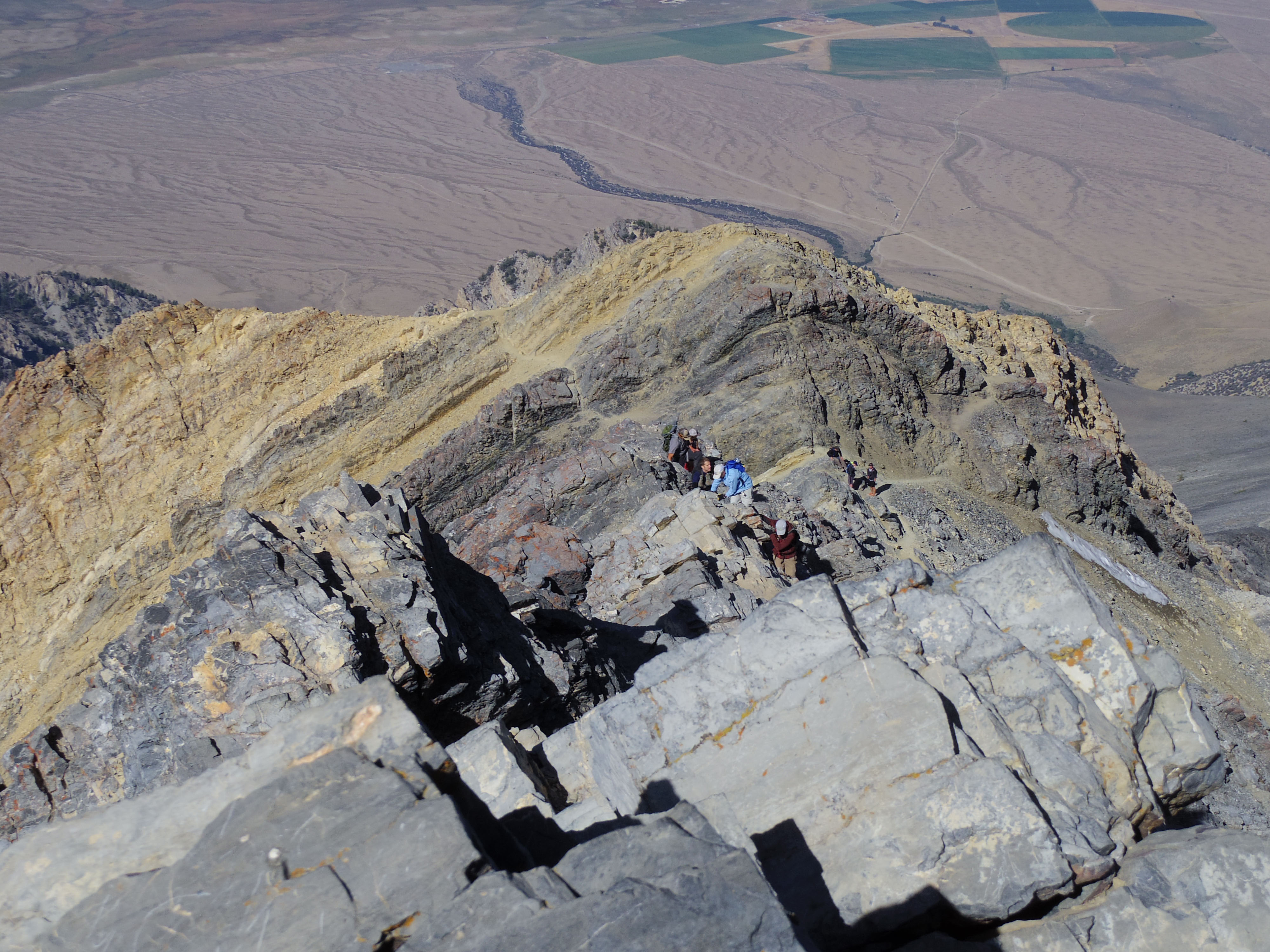
The ridge is narrow and it became a bottleneck for hikers moving up and down the trail.
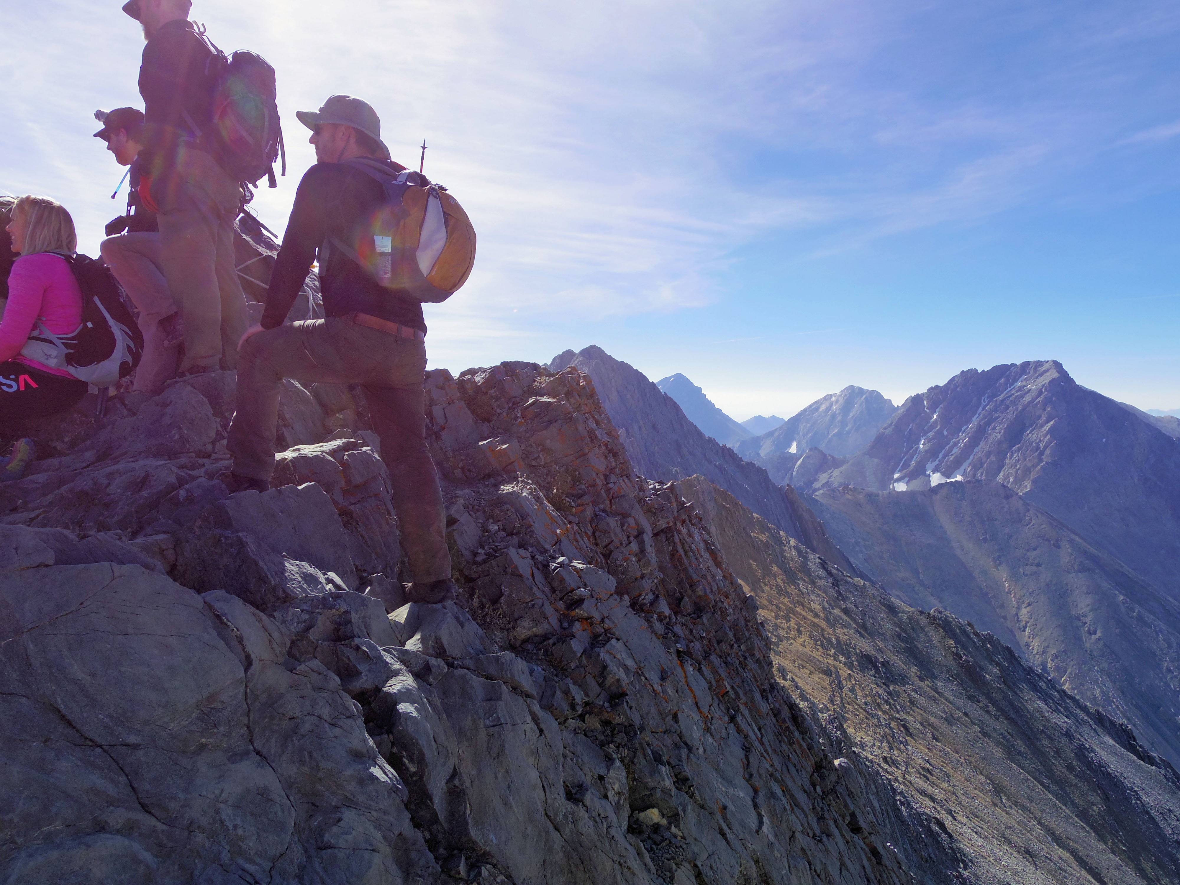
The upper end of Chicken-Out has a steep 20 foot vertical drop that has to be navigated carefully. Many of us waited patiently as each person took their turn to descend this intimidating feature.
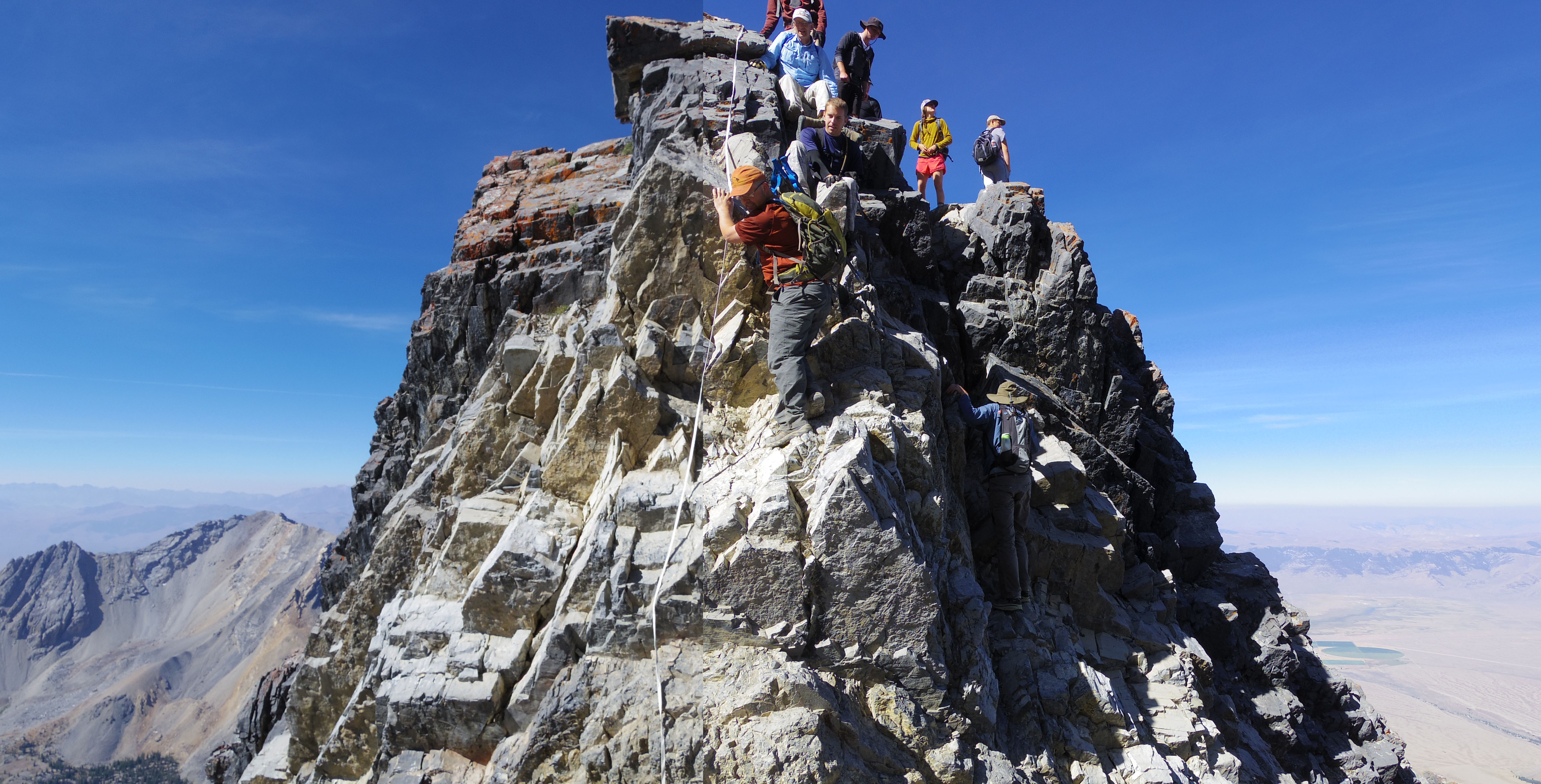
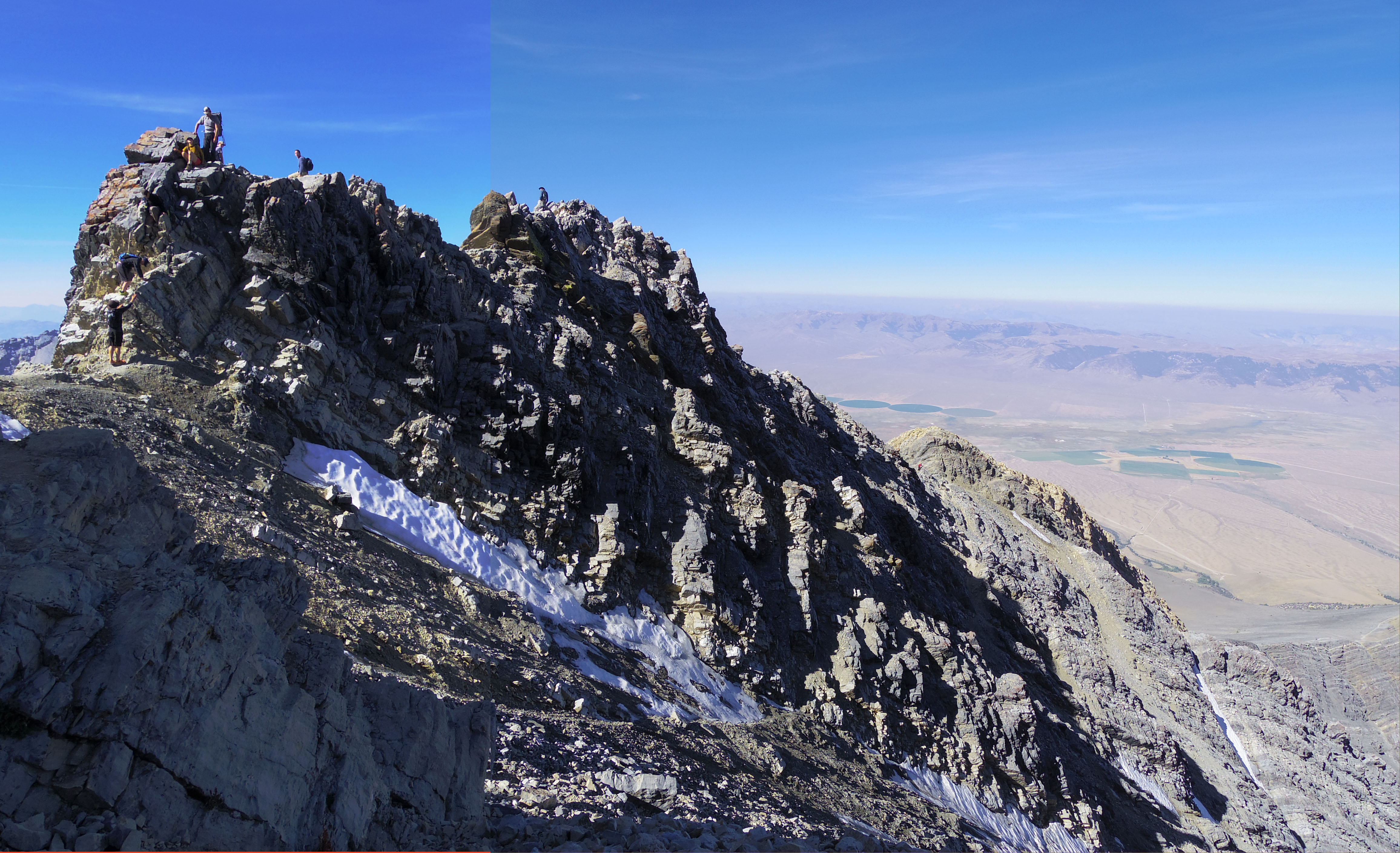
The Chicken-Out experience is harrowing and it discourages a significant portion of hikers who attempt the mountain. Many folks we met at the trailhead turned back rather than attempt to traverse it.
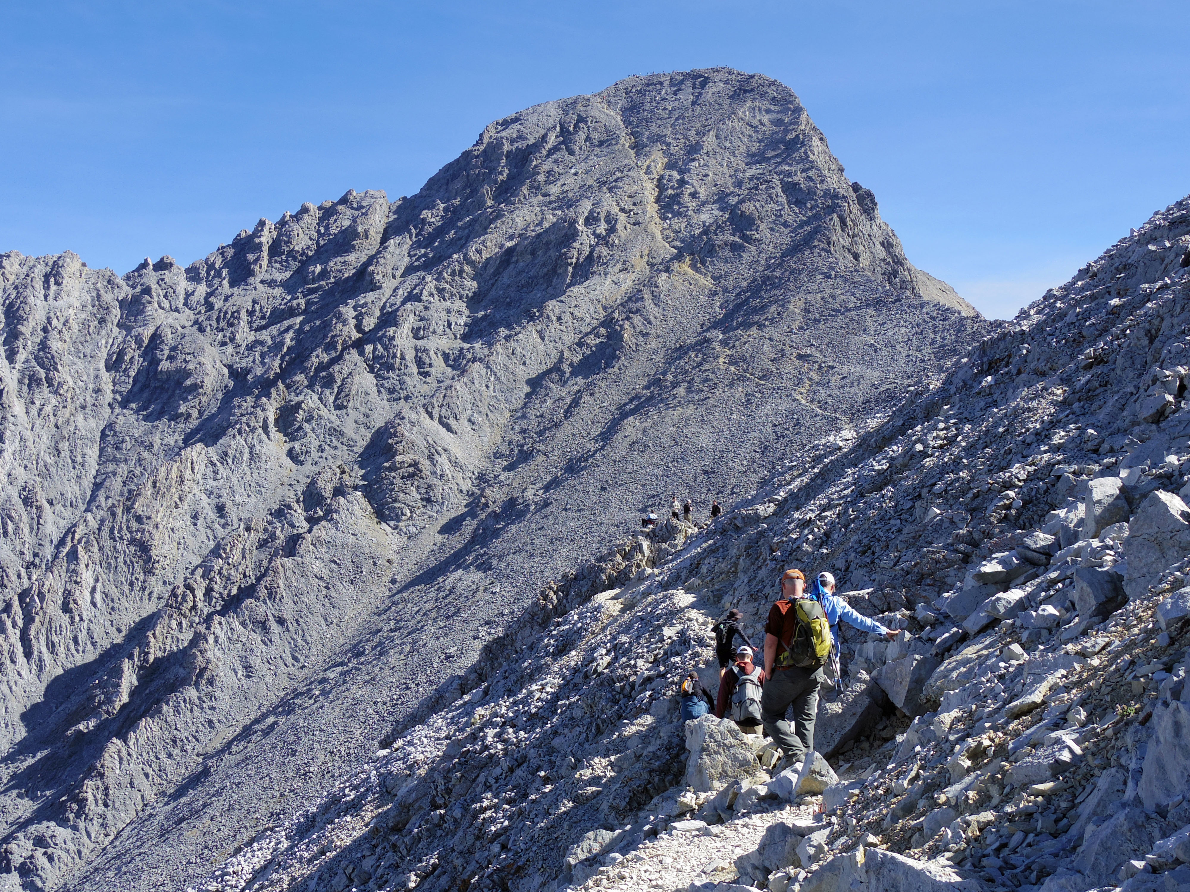
The trail after Chicken-Out moderates again briefly in preparation for the final push to the summit.
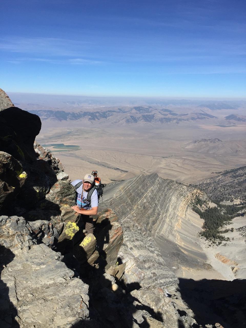
Here you can see the steepness of the final leg of trail to the summit. I was simply too exhausted to handle my camera on this part of the trail to take photos. The final leg rises over 800 feet in less than 750 feet of distance! The trail presents its most challenging climb at the very moment of mental and physical exhaustion.
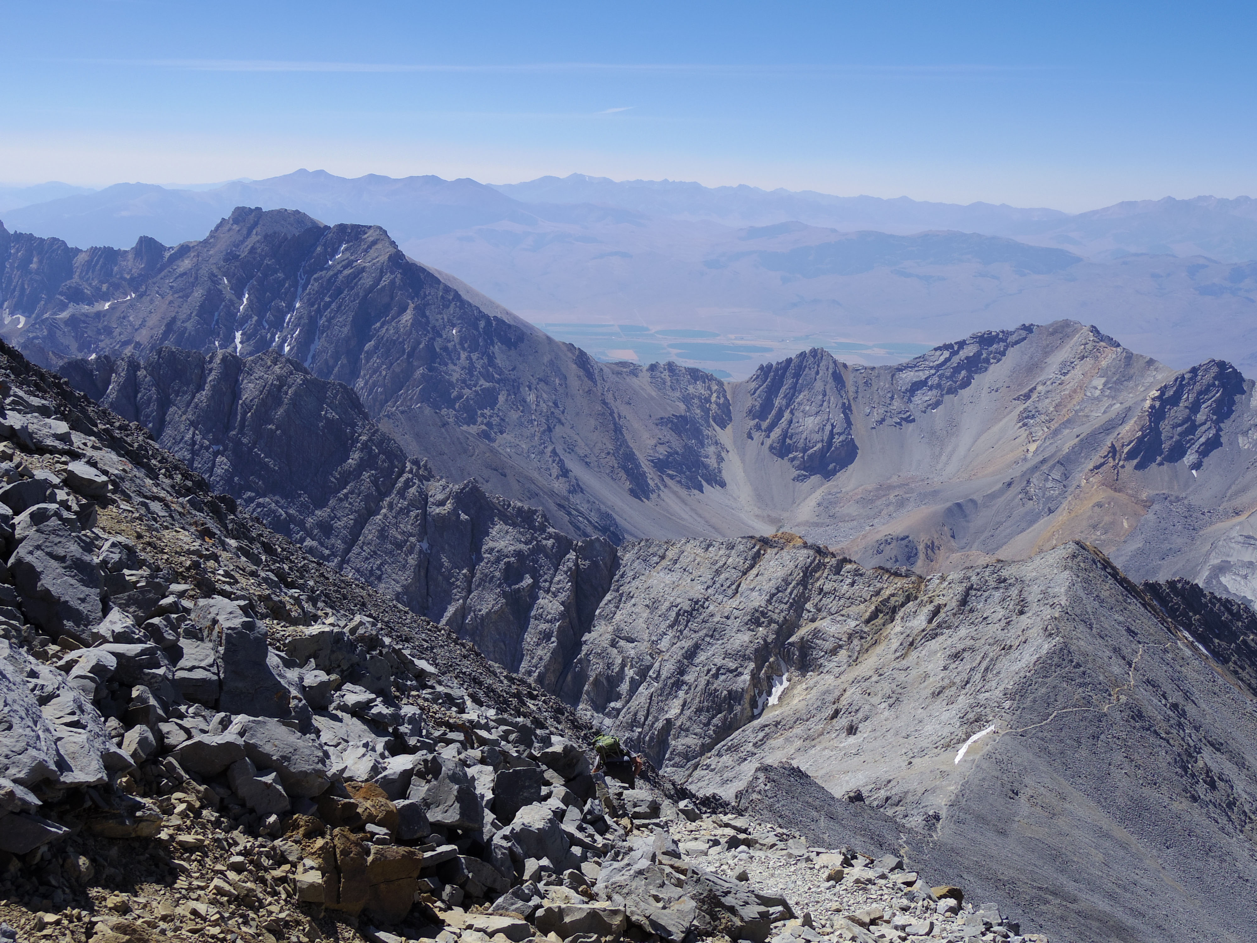
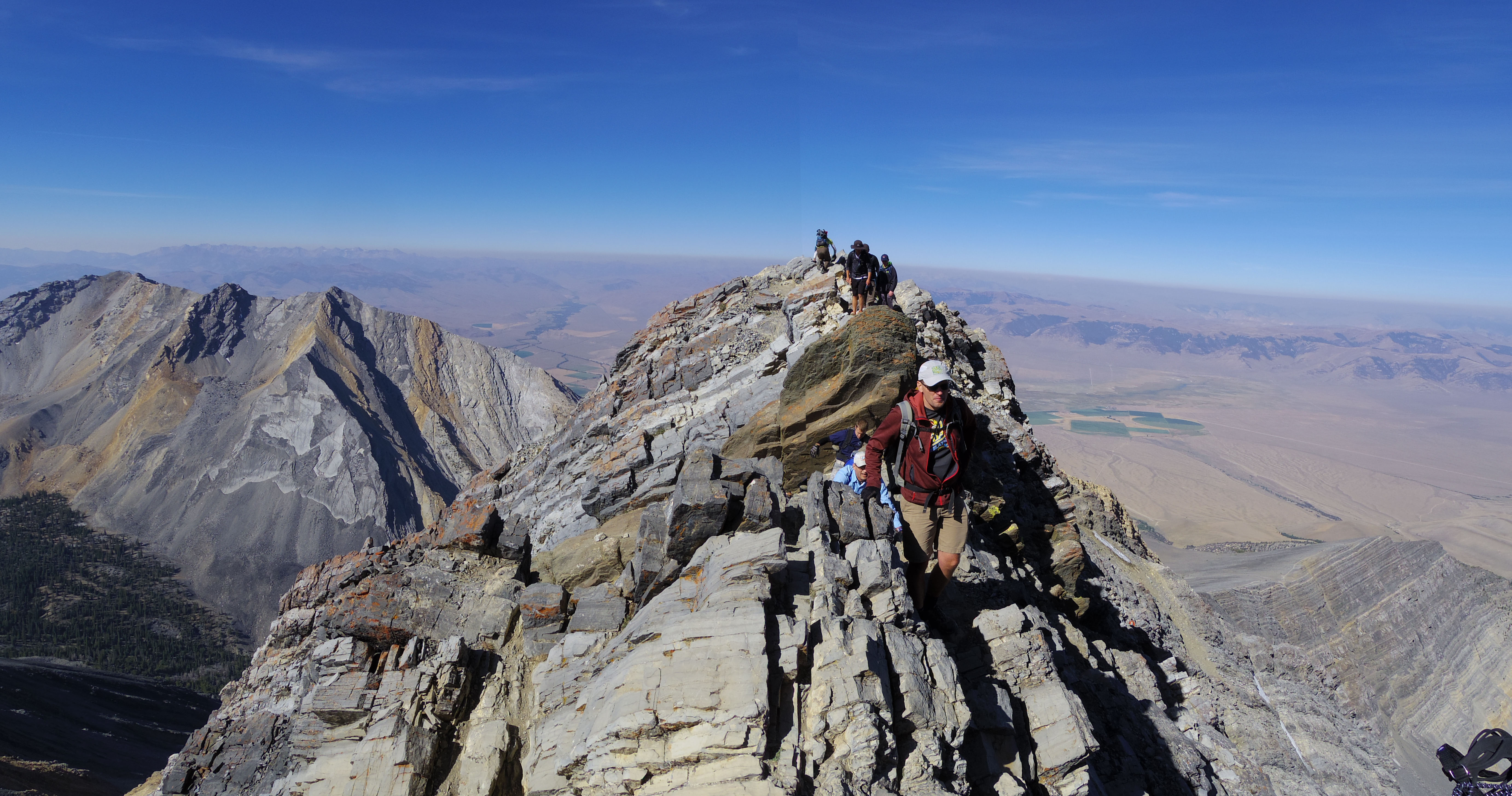
Nearly at the top, the trail below can be seen as a thin line etched in the grey limestone.
This view encompasses the entire trail. Chicken-Out Ridge is the dark rugged section on the left. The trailhead can be seen at the end of the road just above the right of the ridgeline.
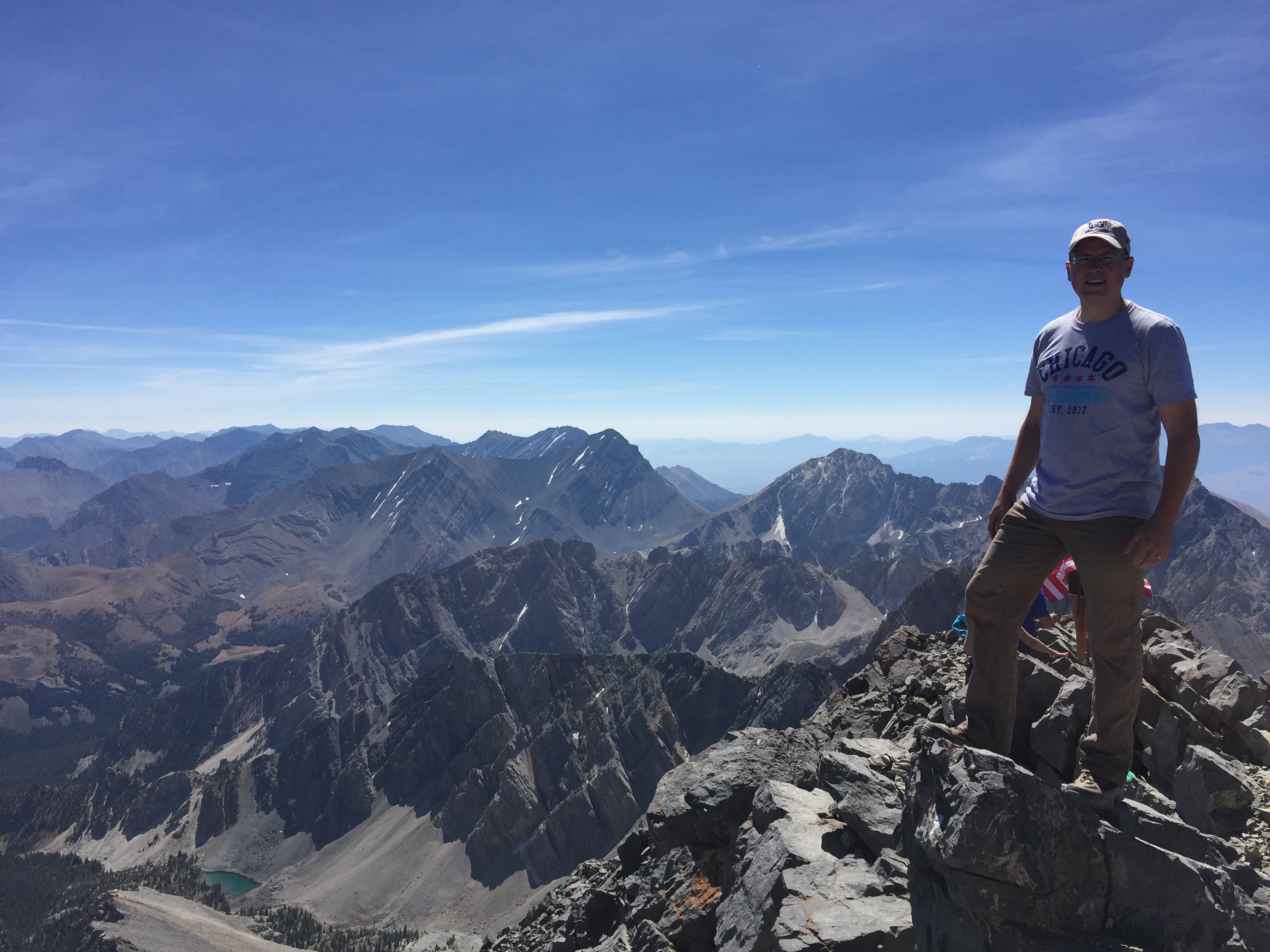
The views from the summit were breathtaking and a big payoff for the effort. While the round trip was only 8.2 miles, the trip took us 13 hours to complete. If I were to do this over again, I would have prepared with some intermediate hikes before hand to acclimate to the altitude and endurance required to make this summit. In the end, it was a great experience, and I look forward to hitting more trails again soon.